Hiking the Calanques: the complete trail guide
Marseille: Calanques National Park guided hike
Duration: 5 hours
Can you hike the Calanques in summer?
Only outside July–August. Most trails close due to fire risk from July through August. The 4-colour daily risk system (green/yellow/orange/red) governs access — check calanques-parcnational.fr the evening before. Spring and autumn are the optimal hiking seasons.
How the Calanques trail system works
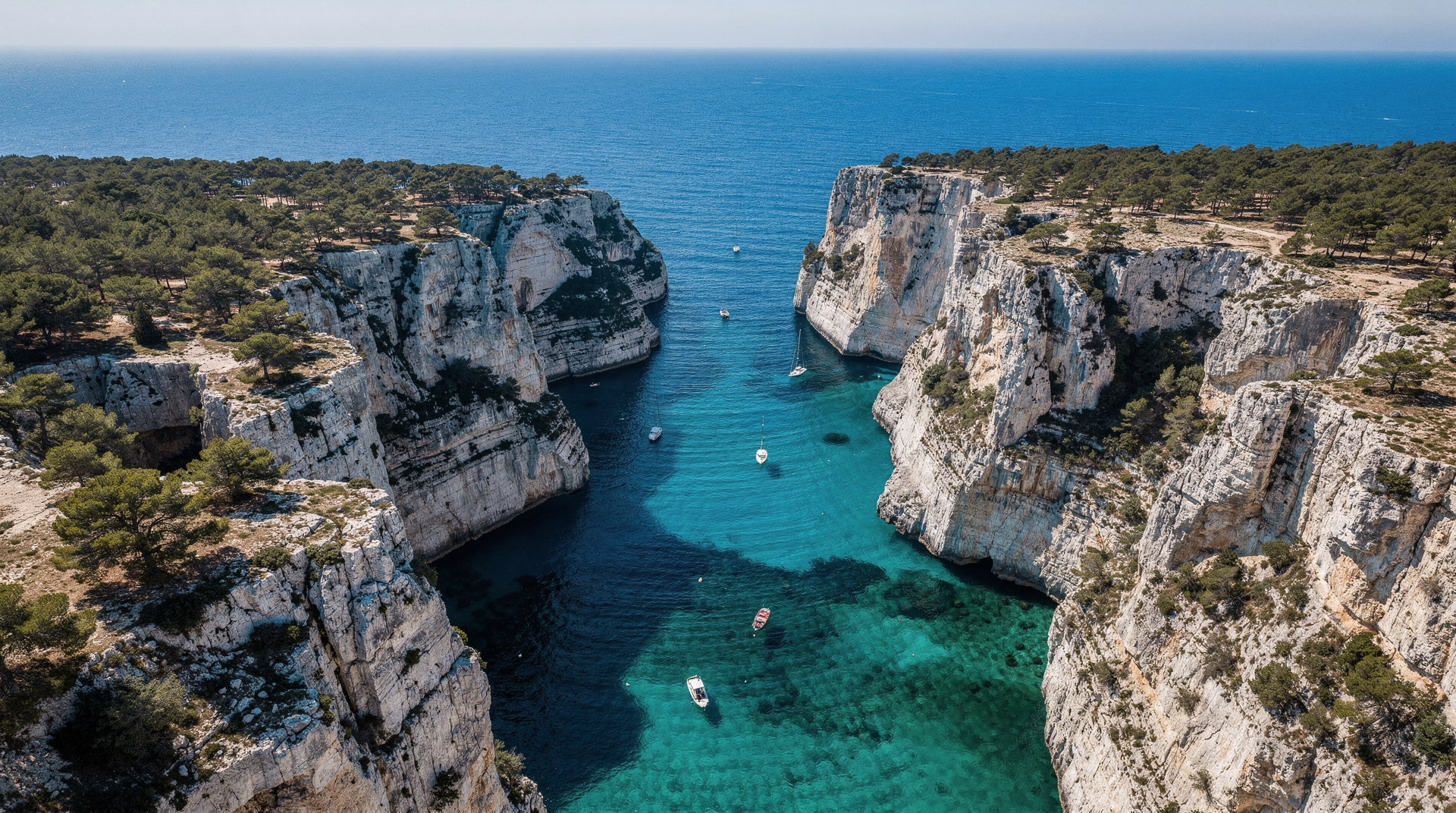
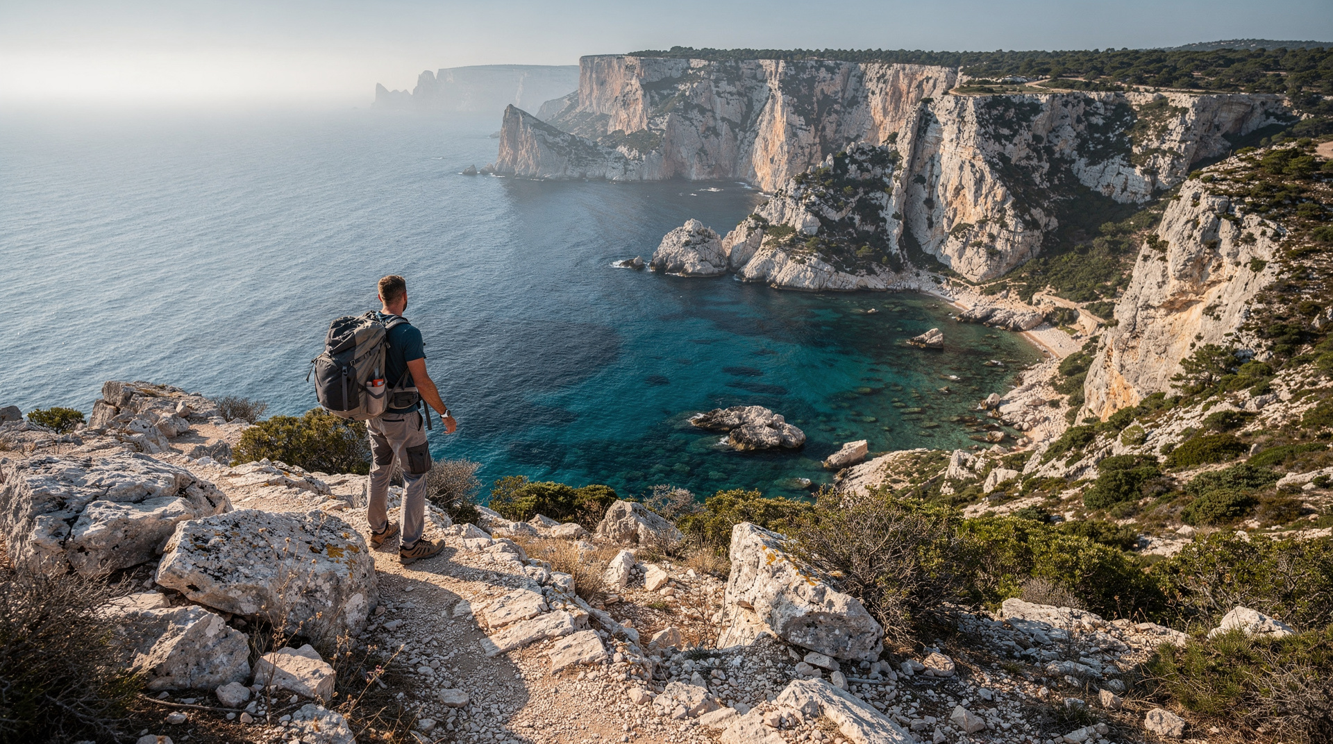
The Calanques National Park covers 20 kilometres of coastline between the southern edge of Marseille and the port of Cassis. The hiking trails that thread through this territory are a mix of waymarked long-distance routes, local loops, and unmarked paths that generations of climbers and walkers have worn into the limestone. Understanding the structure of this system — and its real limitations — is the difference between a successful visit and a wasted day.
The massif is divided functionally into two sides:
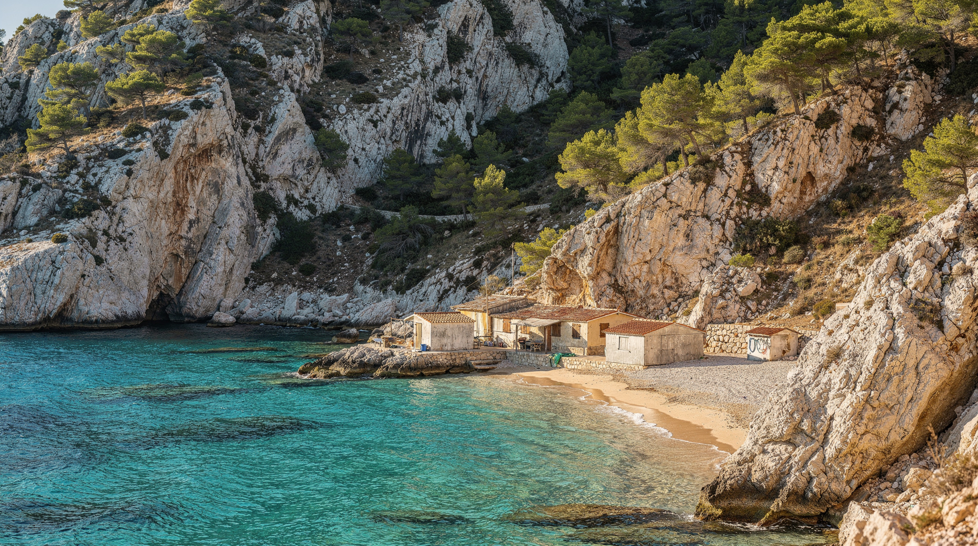
The Marseille side — accessed primarily from the Luminy campus car park (end of bus line 21J or B1 from Castellane métro) and from the coastal settlement of Callelongue (further east along the shore). From Luminy, trails reach Sugiton, Morgiou, and the intermediate ridges within 45 minutes to 2 hours on foot. From Callelongue, lower-difficulty coastal paths along the Côte Bleue extension provide the easiest walking in the area.
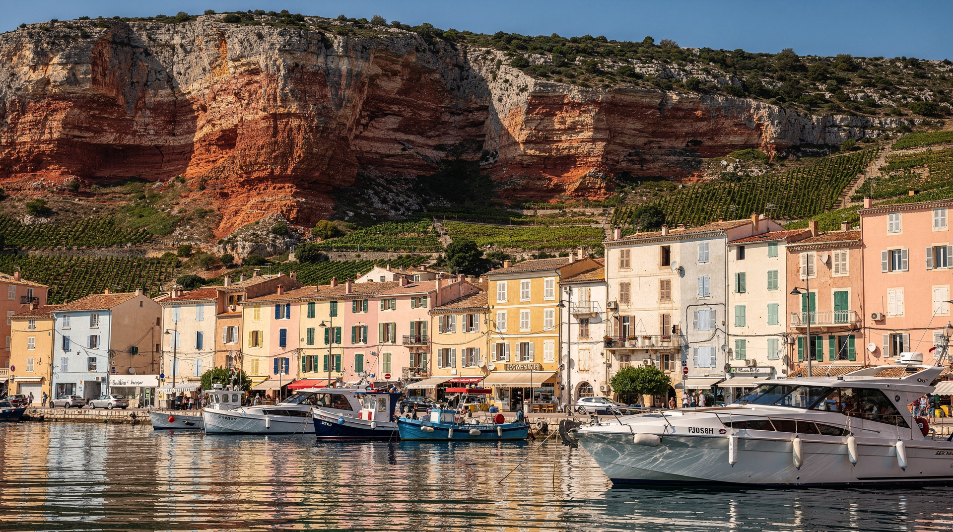
The Cassis side — accessed from the village of Cassis, where the trailhead to Port-Miou, Port-Pin, and En-Vau begins at the eastern edge of the port. The GR98 long-distance trail connects the two sides in a full traverse of 28–37 km depending on the variant taken.
The trails are not uniformly marked. Where the GR98 follows white-red blazes, the side trails and loops often have cairns, faded paint marks, or nothing at all. A topographic map and the official park trail app (Mes Calanques) are both recommended for multi-calanque loops. GPS reception is excellent throughout — the limestone ridges create no interference.
At a glance
| Best time | April-mid-June or mid-September-October |
| Closed | Effectively all of July-August (fire risk) |
| Cost | Free access; Sugiton requires a free reservation in season |
| Getting there | Bus 21 from Castellane to Luminy, or TER train to Cassis |
| Difficulty range | Easy (Cassis-Port-Miou) to challenging (GR98 interior, Morgiou-Sormiou loop) |
| Water | None on trail — carry 1.5-4 litres depending on route and season |
The summer closure reality
This is the fact that catches more visitors off guard than any other in the Calanques: most hiking trails are closed July and August due to fire risk, with closures possible from June 1 onward.
The Bouches-du-Rhône prefecture assesses fire risk daily and communicates the following day’s access level for each forest massif by 18:00 the previous evening. Since 2026, the system uses four colour levels:
- Green — unrestricted access
- Yellow — access permitted, exercise caution
- Orange — access restricted to certain zones; specific trails may close
- Red — all forest and massif access prohibited, including the Calanques by land
In practice, July and August bring predominantly orange and red days during heat waves. A single red-level day cancels all reservations for Sugiton (the park does not roll them over). You cannot compensate by arriving at the trailhead anyway — the gendarmes and park wardens do enforce restrictions, particularly at the Luminy car park which is the pinch point for Marseille-side access.
Where to check: calanques-parcnational.fr, or the Mes Calanques app, updated each evening by 18:00. Also: bouches-du-rhone.gouv.fr lists the daily status for each Bouches-du-Rhône massif separately (the Calanques, Cap Canaille, and Grand Caunet massifs are listed individually). Do not rely on the previous day’s conditions — fire risk can spike overnight with a wind shift.
When to hike: the honest season guide
April to mid-June (optimal): Trails fully open. Temperatures 18–26°C. The garrigue is at its most fragrant — rosemary, thyme, and lavender in flower. Sea temperatures reach 18–20°C by late May, making the combination of hiking and swimming genuinely comfortable. Crowds are manageable, particularly before May school holidays. This is the single best hiking window.
Mid-June to late June: Sugiton reservation activates (2026 dates: June 20–21 and every day from June 27 onward through August 30, plus September weekends). Closure risk increases but weekday hiking remains mostly possible. Start early — by 8:00 — and watch the daily access map.
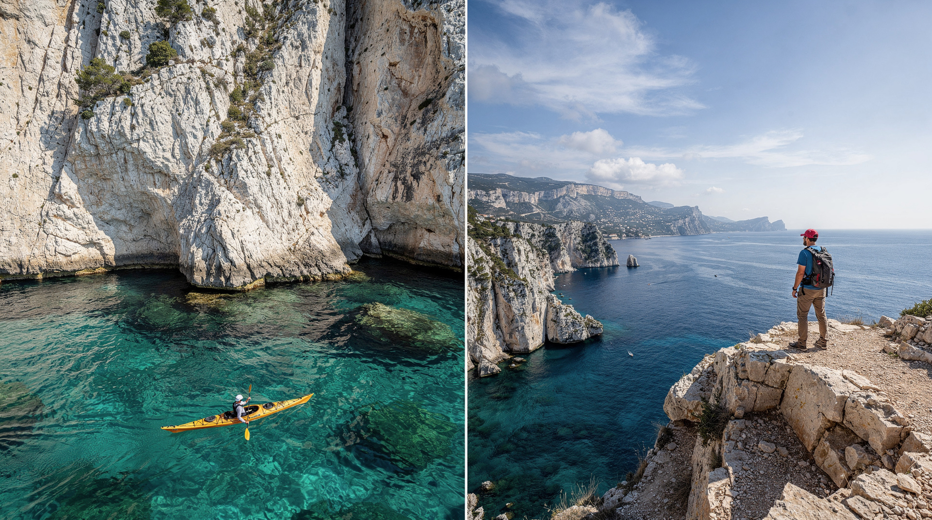
July and August: Essentially no hiking. The massif is dangerously dry. Temperatures exceed 35°C on the exposed limestone in full sun. Boat and kayak access are the appropriate summer alternatives — they are not a consolation; the sea approach to the calanques is genuinely spectacular.
Mid-September to October (second optimal window): Restrictions typically lift around September 1 (verify for the current year). Trails reopen, water is still warm (22–24°C), and visitor numbers drop sharply. The autumn light on the limestone — raking and golden — is excellent for photography. Some calanques see seasonal restaurant closures by October.
November to March: Trails open, almost no crowds, cold sea, dramatic low-light scenery. Occasional mistral days make ridge walking dangerous — avoid exposed sections in strong wind. Some boat tour operators reduce winter frequency.
The four starting points and what each gives you
Luminy (Marseille, 9th arrondissement)
The main Marseille-side trailhead. The Luminy campus car park (free, but fills by 9:00 on any warm weekend) sits at the edge of the national park. Bus 21J or B1 from Castellane métro (line 1 or 2) reaches the “Luminy PN des Calanques” stop in about 30 minutes — the bus-accessible option eliminates the parking problem entirely.
From Luminy, you can reach: Sugiton (45–55 min), Morgiou (60–80 min), the ridge to Sormiou (90+ min), and connect to the GR98 heading toward Cassis.
Callelongue (southern Marseille)
The southern coastal tip of Marseille, accessible by car or by timed shuttle buses during summer restrictions. Callelongue sits at the start of the coastal path along the Côte Bleue direction (not the Calanques national park direction — those trails are toward Marseilleveyre and the main massif). This is the gentlest entry point, suitable for walkers who want coastal scenery without serious climbing.
Cassis (eastern approach)
The trailhead to Port-Miou, Port-Pin, and En-Vau begins 15 minutes’ walk from Cassis port along the Rue des Calanques. The path is significantly more accessible from the village than any equivalent Marseille-side approach — you step off a train at Cassis station, take a taxi to the port, and walk to the park boundary. See the En-Vau hike guide for detail on the Cassis approach.
Col de la Gardiole (intermediate approach to En-Vau)
The road to the Col de la Gardiole above Cassis has been closed to vehicles since 2019. The recommended approach now uses the Logisson parking area on the D559 (Route de la Gineste), then follows the paved Gaston Rébuffat road on foot to the col. From here, the descent to En-Vau takes 1–1.5 hours. Total hike: approximately 12 km, 200m ascent, 3 hours. This intermediate approach is quieter than the Cassis village route but requires more planning.
Equipment: what you actually need
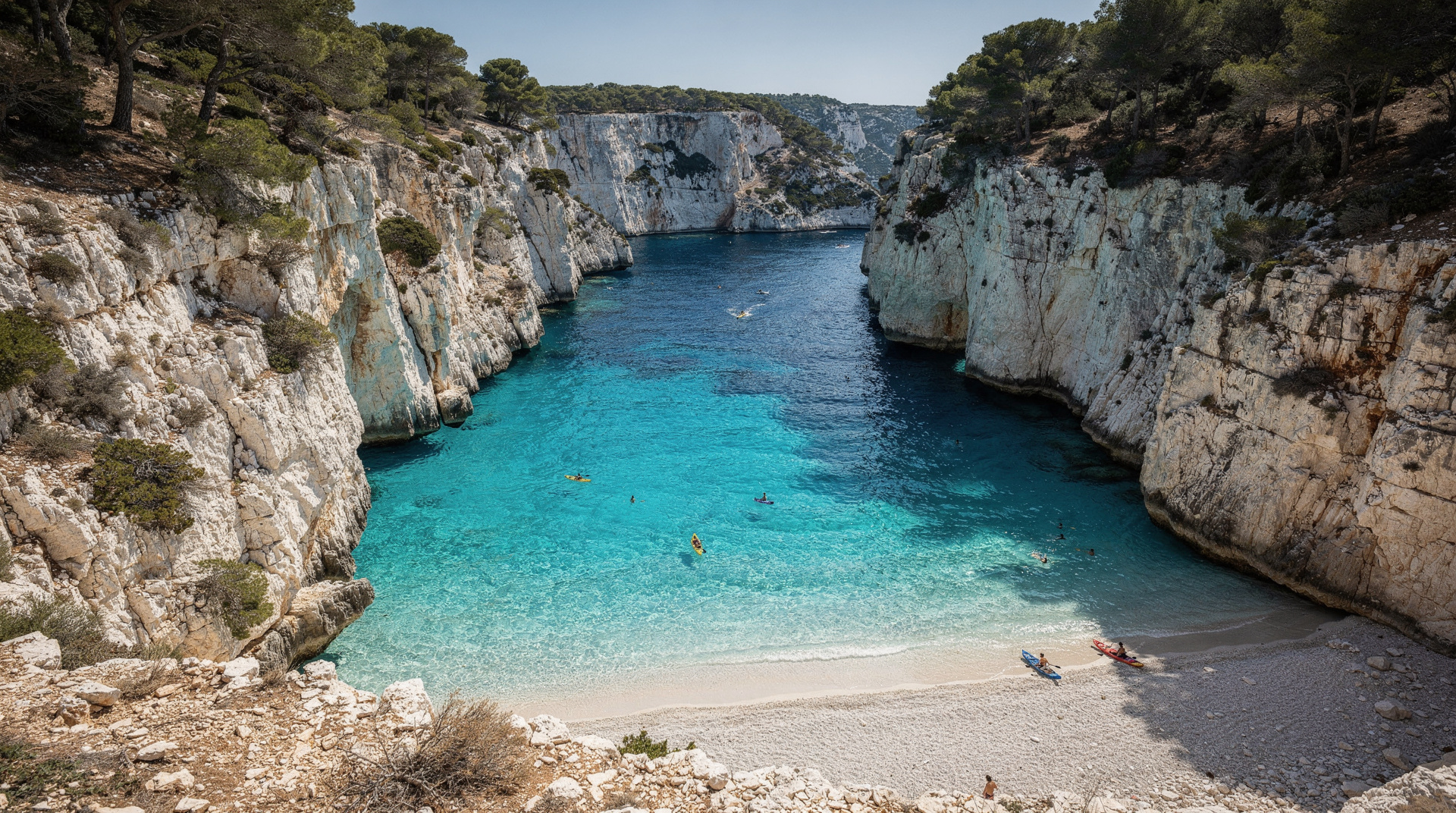
Footwear: The single most consequential piece of equipment. Proper hiking shoes or trail runners with a rubber sole and ankle support. The limestone trail surface is irregular — polished rock, loose scree, and deep joints — and is unforgiving on ankles. Flip-flops are genuinely dangerous on the descent to En-Vau or the rope-aided section at Sugiton. Running shoes (flat sole, no grip) lead to slipping on polished rock. This is not overcaution.
Water: The trails have no water sources at any point. On a spring day (22°C), budget 1.5 litres per person for a 3-hour return trip. On a June day (28°C), 2 litres minimum. On a warm day in July (when you should not be hiking): this is why the parks close the trails. Dehydration on exposed limestone in full Mediterranean sun is not a mild inconvenience — it has killed walkers in the Calanques.
Sun protection: Hat, sunscreen, and ideally long sleeves for mid-day hiking in summer shoulder periods. The limestone reflects rather than absorbs heat — the ambient temperature at ground level on exposed white rock can exceed the air temperature by 5–8°C.
Navigation: Download the Mes Calanques app. Screen a topographic map covering the massif (IGN 1:25 000 sheet 3245ET). Mobile data signal is patchy on the ridge trails — download offline maps before you go.
Swim gear: A small waterproof bag, swimwear, water shoes or fins for rocky calanque entries. The rocky entry at En-Vau, Sugiton, and Morgiou requires footwear in the water — sea urchin spines on the rock base are a real hazard.
What NOT to do
Do not attempt the trails without checking daily access status. The fine for being on a closed massif during a red-level alert is substantial, and more importantly, the fire risk is genuine — you are not just breaking a rule.
Do not start late. The calanques fill from 11:00 onward on any sunny day from May through September. The En-Vau cove has 20 boats anchored in it by noon in July. Starting at 7:00–8:00 puts you at the calanque before the crowds and allows the return leg in the coolest part of the morning.
Do not underestimate return time. The climb out of En-Vau, Sugiton, and Morgiou is significantly harder than the descent. The energy required to climb back up a steep rocky trail in afternoon heat, after swimming, is consistently underestimated. Budget the same time for the return as the outward leg, or more.
Do not leave the marked trails in summer. The garrigue is extremely flammable from June onward. A cigarette end, a discarded glass bottle acting as a lens — the major Calanques fires of the post-war period started from small ignition sources. Stay on marked paths.
Do not hike alone in remote sections without telling someone your route. Mobile signal is intermittent in the interior massif. The emergency number in France is 112; mountain rescue (PGHM) operates out of Marseille.
Difficulty profiles: a realistic summary
Easy (suitable for most adults with basic fitness): The coastal path at Callelongue. The walk from Cassis to Port-Miou (15 minutes). The first section of the Luminy–Sugiton route (flat to gently undulating, ~20 minutes before the descent begins).
Medium (requires reasonable fitness, proper footwear, no knee problems): Luminy to Sugiton (45–55 min, ~150m descent, rope section on the final descent). Cassis to Port-Pin (60 min, rocky, some uneven terrain). The Morgiou approach from Luminy (60–80 min).
Challenging (physically demanding, navigationally complex, heat-sensitive): Cassis to En-Vau via the coast trail (90 min one way, steep final descent). The Morgiou–Sormiou loop (3–4 hours, significant elevation change). Any section of the GR98 interior. See the difficulty comparison guide for km and ascent data on each route.
The guided hike option
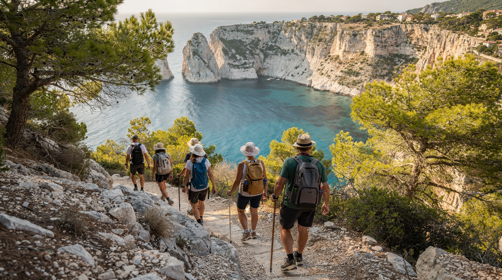
A guided hike is the most efficient first visit. A local guide handles access decisions (they monitor the daily closure map as part of their professional practice), navigates the unmarked sections, identifies the wildlife and plants, and knows which trails will be least crowded on a given day. For most visitors, the ecological and geological context the guide provides transforms the experience from a pleasant walk to something genuinely memorable.
Guides typically operate from Marseille or Cassis and offer half-day and full-day formats. Half-day guides (5 hours) reach one major calanque; full-day (7–8 hours) can cover two or three. See the safety guide for the specific risks of hiking without a guide in heat.
Getting to the trailheads without a car
To Luminy: Bus 21J or B1 from Castellane métro (lines 1 and 2 connect at Castellane). Journey time approximately 30–35 minutes. Alight at “Luminy PN des Calanques” — the last stop on the B1 or the Luminy variant of the 21J. Frequency every 15–20 minutes at peak times. No car needed, no parking problem.
To Cassis: TER train from Marseille Saint-Charles to Cassis station (approximately 35 minutes). Taxi or shuttle bus from Cassis station to the village port (3 km, around EUR 10–12 by taxi). The trailhead is 15 minutes’ walk from the port. This is the most reliable car-free route to the Cassis-side calanques.
To En-Vau via Col de la Gardiole: The approach requires a car to the Logisson parking on the D559 — there is no public transport to this point. If you do not have a car, the Cassis village approach is the alternative.
For the complete Calanques planning picture, read the Calanques National Park guide. For Sugiton specifics, see the Sugiton hike guide. For boat access as a summer alternative, see the boat tour guide. For planning your wider Marseille trip, see how many days in Marseille and Marseille in summer.
Choosing between hiking and a boat tour
Hiking is not the only way to see the Calanques, and for many visitors — especially in July and August when trails close — it is not even the practical option. A boat tour from the Vieux-Port covers several calanques in 3-4.5 hours with swimming stops and requires no fitness beyond getting in and out of the water; see the boat tour guide or the direct boat vs hike comparison for the full trade-off. Kayaking is a third option that splits the difference — see the kayaking guide.
Frequently asked questions about hiking the Calanques
How do I know if the Calanques trails are open today?
Check calanques-parcnational.fr or the Mes Calanques app after 18:00 the day before your planned visit. The prefecture updates the access level for each massif — including the Calanques — for the following day. A green or yellow level means access; orange means partial restrictions (check which specific areas are affected); red means all terrestrial access is prohibited.
Which is the easiest calanque to reach on foot?
Port-Miou from Cassis (15 minutes from the village port) is the most accessible calanque in the park — essentially a flat walk along the inlet edge with no technical terrain. From the Marseille side, the first 20 minutes of the Luminy–Sugiton trail are easy before the rocky descent begins.
Do I need a reservation to hike in the Calanques?
Only for Sugiton, and only during the regulated period (in 2026: June 20–21, then every day June 27–August 30, and September weekends). All other calanques have no reservation requirement. The Sugiton reservation is free and made at calanques-parcnational.fr up to 3 days in advance.
Is the GR98 trail hike from Marseille to Cassis doable in one day?
Technically yes — the distance is approximately 28 km with 1,700 m of elevation gain, which puts it firmly in the “long and demanding” category. Experienced hikers complete it in 10–11 hours. A more satisfying approach is to split it over two days with an overnight at a gîte or hotel near the midpoint. See the GR98 trail guide for the full itinerary.
What happens if it rains on a calanques hike?
Rain makes the polished limestone genuinely slippery, particularly on the descent sections. If rain is forecast, consider postponing or choosing the gentler Cassis-to-Port-Miou section. Wet limestone on the descent into En-Vau is dangerous without the right footwear and experience. The upside of post-rain hiking: the garrigue smells extraordinary.
Can children hike in the Calanques?
Yes, with appropriate planning. The Cassis-to-Port-Miou walk (15 minutes) suits any age. Luminy to Sugiton suits children aged 8 and above with proper footwear and at least 1 litre of water per child. En-Vau is not appropriate for young children due to the steep descent and rocky water entry. Avoid all mid-day hiking with children from June through September.
What wildlife might I see while hiking?
Bonelli’s eagle and peregrine falcon are resident in the massif — look for large birds riding thermals above the ridges. Blue rock thrush, Alpine swift, and wren are common at the cliff base. Alpine ibex have been occasionally reported (re-introduction programme). The garrigue vegetation hosts lizards in abundance; the Montpellier snake (non-venomous to humans) is common but rarely seen. Sea urchins in the water at the calanques are the most consistent wildlife encounter.
Top experiences
Bookable activities with verified prices and instant confirmation on GetYourGuide.