GR98 Marseille to Cassis: the complete trail guide
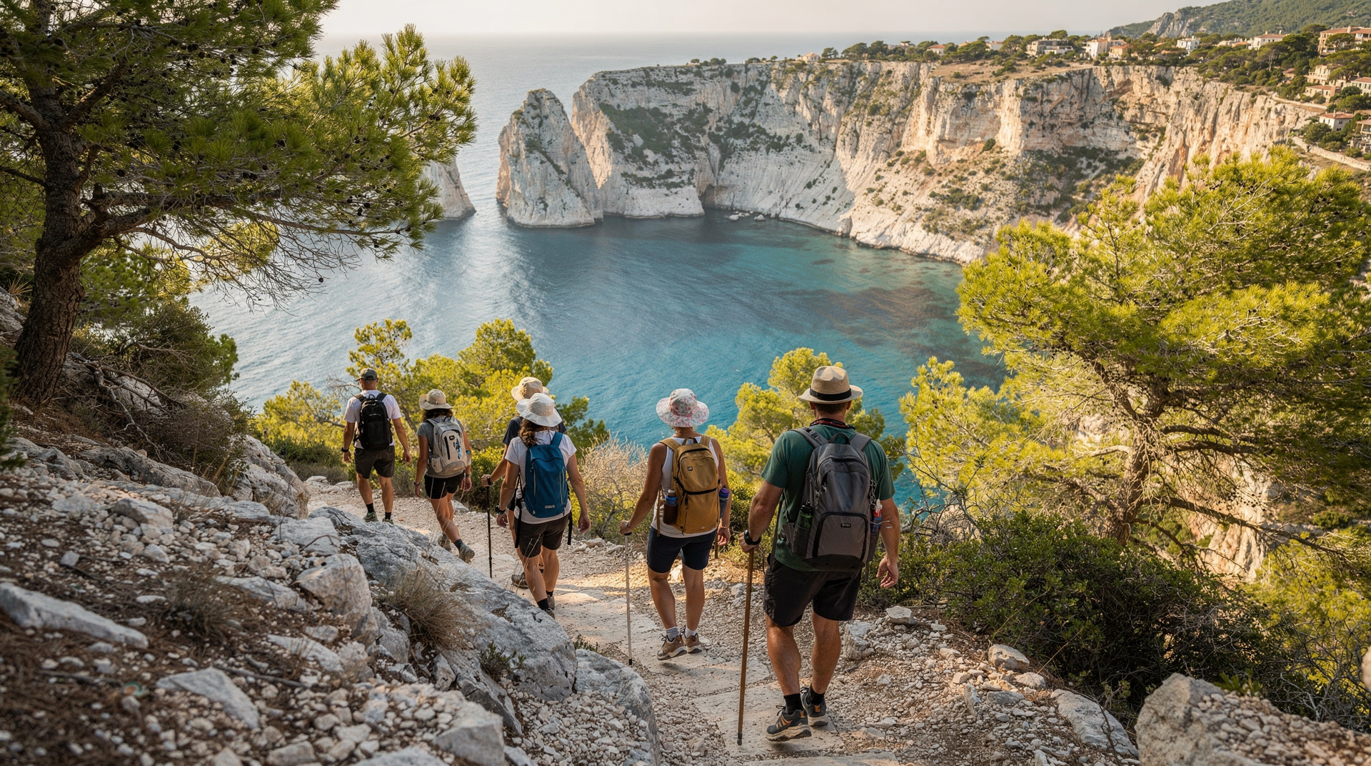
Cassis: Calanques En-Vau belvedere half-day hiking tour
How long is the GR98 from Marseille to Cassis?
Approximately 28 km with 1,700m of positive elevation gain. Experienced hikers complete it in 10–11 hours in one day. Most walkers split it over two days with an overnight near the midpoint. Closed in summer fire season (July–August).
The long traverse: what the GR98 gives you
The GR98 is the long-distance waymarked trail that traces the ridgeline and coastal massif between Marseille and Cassis, passing through the heart of the Calanques National Park. It is one of the most scenic long-distance routes in southern France, and one of the most demanding in terms of terrain-to-distance ratio — 28 kilometres with 1,700 metres of positive elevation gain means continuous climbing and descending over rough limestone.
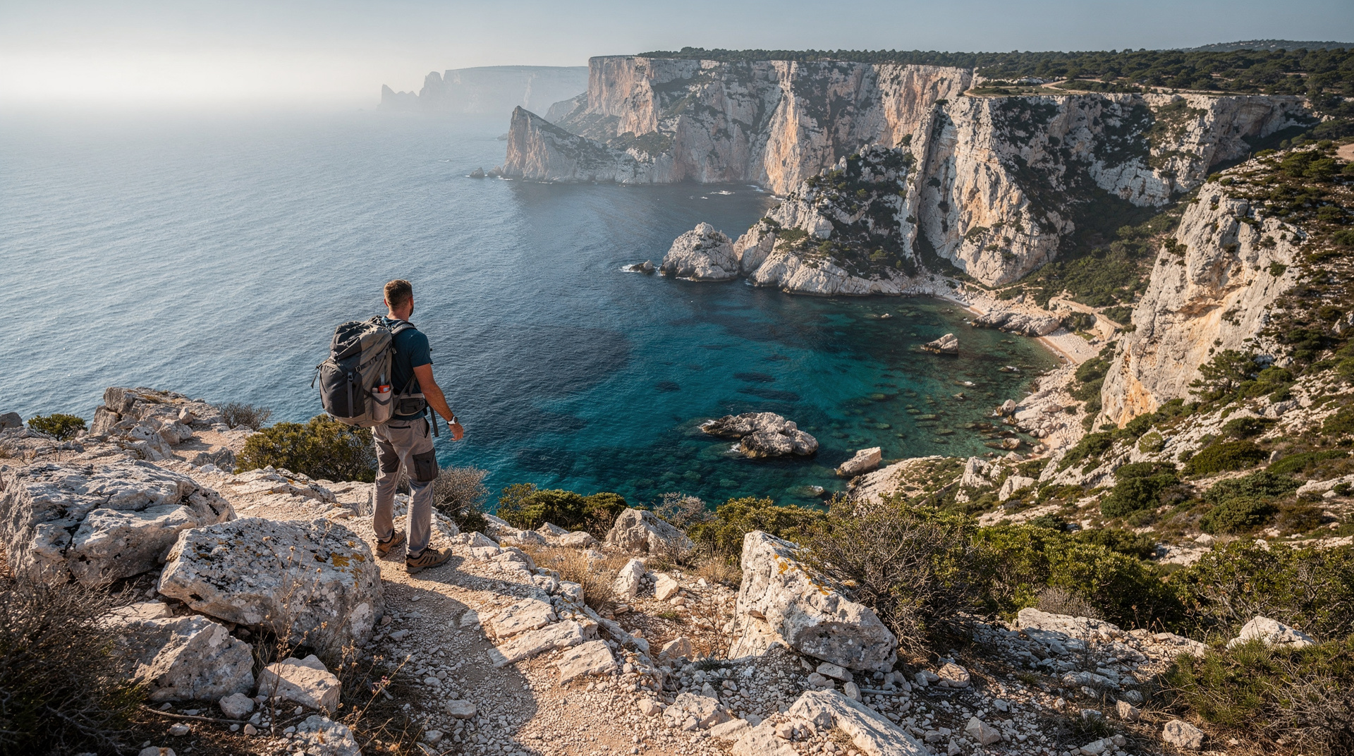
Walking the full traverse gives you something that no boat tour, short day hike, or calanque-specific route can: the experience of the massif as a complete landscape. The ridge views from the interior sections — south to the sea, north across Marseille and the Huveaune valley, east toward the Sainte-Baume range — are the kind of panoramic scale that makes you understand why this landscape is a national park rather than a regional one.
The GR98 is not the right choice for a first Calanques visit. It is the right choice for experienced walkers who want the complete picture.
At a glance
| Distance | around 28 km (some sources cite up to 37 km with city approach sections) |
| Elevation gain | around 1,700 m positive |
| Time needed | 10-11 h in one day, or split over 2 days |
| Start / end | Callelongue (Marseille) to Port-Miou (Cassis) |
| Getting to the start | Bus 20 or 21 from Castellane métro, around 35-40 min |
| Best time | April-mid-June or mid-September-October |
| Closed | Effectively all of July-August (fire risk) |
Route overview and key sections
The GR98 runs from the Callelongue settlement at the southern tip of Marseille to the Port-Miou calanque immediately east of Cassis, where it terminates at the sea. The waymarking uses the standard GR red-white blazes on rocks, trees, and posts throughout.
Section 1: Callelongue to Marseilleveyre summit (2–3 hours)
The trail begins at Callelongue and climbs immediately — this is not a gentle start. The ascent to the Marseilleveyre massif gains 300+ metres in the first 4 kilometres. The Marseilleveyre summit at 432 metres is the highest point on the Marseille-side section and offers the broadest view of the city to the north and the Calanques coastline to the south. This section is the most directly accessible from Marseille without a car: bus from Castellane to Callelongue (Bus 21 or 20) connects to the GR98 trailhead.
Section 2: Marseilleveyre to Sugiton ridge (2–3 hours)
From the summit, the GR98 drops toward the interior of the massif, passing above Sormiou and Morgiou without descending to the calanques themselves (the descent to each calanque is via a lateral trail). The terrain is consistently rough — limestone blocks, scree sections, and occasional scrambles. Navigation requires attention; the waymarking is clear but not continuous. The Sugiton ridge provides the first direct view down into Sugiton calanque.
Section 3: Sugiton ridge to Col de la Gardiole (2–3 hours)
The most remote section. The trail crosses the interior of the massif, gaining and losing height repeatedly across the limestone plateau. This is the section with the lowest visitor density — most day hikers enter from Luminy or Cassis rather than traversing this interior. Views toward En-Vau and the Cassis-side calanques begin to open in the final approach to the Col de la Gardiole.
Section 4: Col de la Gardiole to Port-Miou, Cassis (1–1.5 hours)
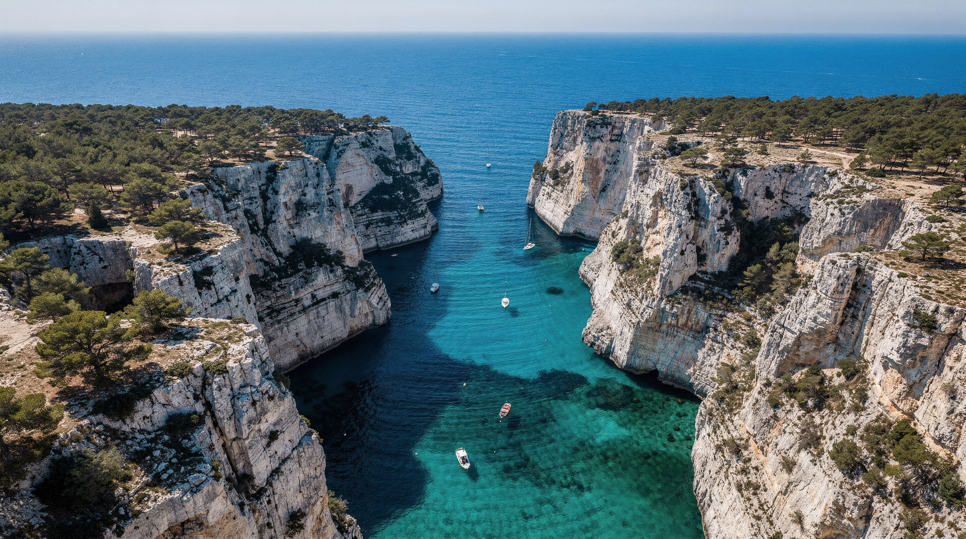
The final descent from the col passes the En-Vau approach junction and drops toward the Cassis side, eventually reaching Port-Miou and the village. This section can be combined with a detour to En-Vau (45–60 minutes additional each way) if you have time and energy — but after 7+ hours of walking, the detour is demanding.
Two-day option with overnight
Most walkers approaching the GR98 seriously plan for two days. The logical split is roughly at the midpoint of the traverse — near the Sugiton ridge or the area above Morgiou — but the trail is entirely in a national park and there are no designated bivouac or camping spots within the Calanques National Park itself.
Two-day structure options:
Option A (most common): Day 1 from Callelongue to Luminy (exiting the trail at Luminy before the Sugiton descent). Return to Marseille for the night. Day 2 from Luminy via Sugiton and the ridge to Cassis. This split uses public transport to return to the city for accommodation.
Option B (for those with a car): Drive to Cassis and leave the car. Take the train or bus back to Marseille. Walk the GR98 from Callelongue to Cassis over two days, returning to the car at the end. Overnight in a Cassis hotel (book in advance — options are limited).
Option C (gîte at Marseilleveyre): Some groups use the Refuge du Marseilleveyre (a mountain hut on the Marseilleveyre summit) as a midpoint overnight. Advance booking is essential and availability is limited. Check with the Club Alpin Français Marseille for current hut status.
The GR98-Bis variant: through the interior
The GR98-Bis is an interior variant that diverges from the coastal GR98 to pass through the Calanques interior — a different experience from the cliff-edge coastal traverse. The Bis variant passes above En-Vau by a higher route and reconnects with the GR98 near the Col de la Gardiole. It is typically used by those who have already hiked the coastal GR98 and want a different perspective on the same landscape, or by guided groups who prefer the interior ecology to the coastal views.
The Bis variant is more navigationally demanding — the interior of the massif has less consistent waymarking. A topographic map and GPS track are essential.
Practical information
Distance and elevation: 28 km (some sources cite 37 km including approach sections from the Marseille city boundary) with approximately 1,700 metres of positive elevation gain. Elevation profile is consistently challenging — there are no long flat sections.
Typical completion time: 10–11 hours for the one-day traverse at a sustained pace with minimal stops. Add 2–3 hours for stops at calanques, meals, and rest.
Summer closure: The GR98 traverses the Calanques National Park and is subject to fire-risk closure from June 1 through September 30 on days rated orange or red. In July and August, the trail is effectively closed most days. The only viable windows for the full traverse are April–mid-June and mid-September–October.
Water: No sources on the trail at any point. For a full-day traverse, each person needs at least 3.5–4 litres. Cassis at the end is the first reliable water point.
Navigation: Download the GR98 GPS track from a reliable source (Komoot, Wikiloc, or the park’s own trail data) before setting out. Mark the Luminy exit point clearly — in poor conditions it can be easy to miss the junction and continue into terrain you did not plan for.
Footwear: Serious hiking boots for the full traverse. The terrain is more demanding and the cumulative distance greater than any single-calanque day hike.
The Côte Bleue extension
The Côte Bleue, north of Marseille along the coast toward Martigues, has its own coastal trail network that connects loosely to the GR98 via the Callelongue area. The Côte Bleue marine park has gentler terrain — lower cliffs, occasional sand coves, and significantly less elevation gain than the Calanques massif itself.
For walkers who want the coastal Provence experience but find the GR98 too demanding, the Côte Bleue section is an excellent alternative: scenic, accessible by train (stations at Carry-le-Rouet and Sausset-les-Pins connect the coastal section), and far less crowded than the Calanques trails.
What the GR98 shows you that day hikes don’t
The GR98 traversal reveals something that no individual calanque day hike can: the scale and internal variety of the massif as a continuous landscape. Day hikers arrive at Luminy or Cassis, descend to one calanque, and return. The GR98 keeps you in the massif for an entire day, carrying you through the garrigue interior between the coastal calanques, across ridges that have no tourist infrastructure, and through sections of the park that most visitors never reach.
The interior sections: Between the major calanques, the GR98 traverses the limestone plateau of the massif interior. The vegetation here — Aleppo pine, kermes oak, rosemary, lavender, cistus — is the classic Provençal garrigue in its most undisturbed form. The scent on a warm spring morning (pine resin, rosemary, lavender, with the salt air underneath) is distinctive enough to be remembered for years afterward. The interior trails have minimal foot traffic compared to the approaches to Sugiton or En-Vau; you can walk for 2 hours without seeing another person in the off-season.
The ridge panoramas: The GR98 repeatedly climbs to ridge sections with 360-degree views — south to the open Mediterranean, north across Marseille and the Huveaune valley, east toward the Sainte-Baume range, west toward the Chaîne de l’Étoile. These views are only accessible from the ridge interior; the sea-level calanque perspective and the high interior perspective are completely different relationships to the same landscape.
The structural understanding: Walking the full traverse gives you a sense of how the calanques relate to each other in space — Sormiou and Morgiou close together, then the ridge, then Sugiton isolated in its slot, then the longer interior section, then the Cassis-side sequence. This spatial understanding of the park, acquired by walking through it, is different from any map or aerial photograph.
Equipment for the full traverse
The GR98 requires a more complete kit than any single-calanque day hike:
Footwear: Full hiking boots with ankle support for the cumulative terrain and descent sections. Trail runners are acceptable for experienced walkers who know their feet’s tolerance for rocky terrain over 10+ hours, but the ankle support of a boot is important on the 1,700 metres of descent spread across the traverse.
Water: 3.5–4 litres per person for a one-day traverse in spring conditions (18–24°C). No water sources on the trail. Cassis is the only water point after leaving the Callelongue trailhead. Some experienced walkers bring a water filter for drinking from the rare puddles in the interior after rain — not recommended as a primary strategy.
Navigation: A GPS device or downloaded track, plus the IGN 1:25,000 topographic sheet 3245ET covering the Calanques. The GR98 blazes are not continuous — some sections require active navigation. The combination of map and GPS track eliminates the risk of getting off-route.
Emergency: A basic first aid kit, an emergency whistle, and a fully charged phone (downloaded offline maps). The emergency number is 112; the PGHM mountain rescue operates in the Calanques.
Food: The traverse requires significantly more calories than a calanque day hike. A full lunch (not just snacks), multiple energy snacks, and a substantial breakfast before departure. The Cassis arrival marks the end of the physical effort but should include a proper meal.
Overnight options for the two-day version
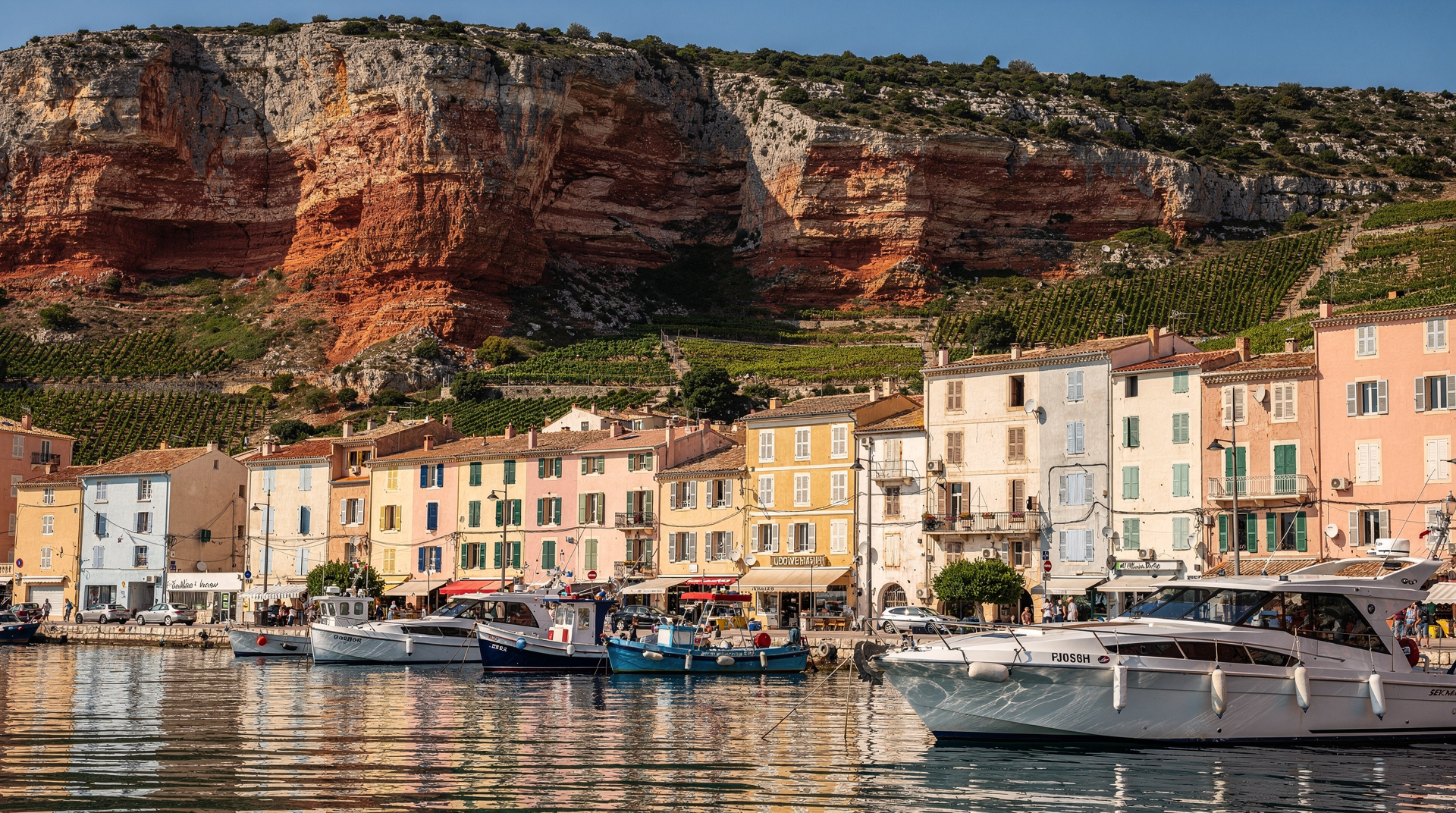
Cassis accommodation: For Option B (driving to Cassis, walking back from Marseille over two days), Cassis village has a range of accommodation from basic auberges to boutique hotels. Book well in advance for May–September. The village is small and options fill quickly.
Marseille accommodation: For Option A (splitting the traverse at Luminy), returning to Marseille from Luminy by bus and staying in central Marseille before starting Day 2. Standard Marseille accommodation applies — see the Marseille guide for area and hotel recommendations.
Refuge du Marseilleveyre: The mountain hut on the Marseilleveyre massif near the traverse midpoint is operated by the Club Alpin Français Marseille. Capacity is limited — typically 20–30 places. Advance booking essential. Self-catering kitchen or basic meals depending on the season. This is the most “classic” mountain refuge experience for the traverse and allows the most logical split point.
Getting to the Callelongue trailhead
By bus: Bus 20 or 21 from Castellane métro runs to Callelongue in approximately 35–40 minutes. This is the car-free access option.
By car: Route des Calanques south from the 8th arrondissement, past Les Goudes, to Callelongue. Limited parking at the settlement end.
For the return from Cassis by train to Marseille: TER from Cassis station to Marseille Saint-Charles takes approximately 35 minutes. Taxis connect Cassis port to the station (3 km, around EUR 10–12).
GR98 vs a single-calanque day hike: which fits you
| GR98 full traverse | Single-calanque day hike | |
|---|---|---|
| Distance | around 28 km, 1,700m gain | 3-12 km depending on route |
| Time | 10-11h (or 2 days) | 3-6 hours round trip |
| Fitness needed | High — sustained climbing/descending | Moderate, varies by route |
| Who it suits | Experienced hikers who’ve already seen the Calanques | First-time visitors, families, casual walkers |
| Best starting guide | This page | Which calanque to visit or difficulty guide |
If this is your first Calanques visit, the full GR98 is very likely the wrong choice — start with the Calanques hiking master guide or a single route like Sugiton instead, and save the traverse for a return trip.
Frequently asked questions about GR98 Marseille to Cassis
Is the GR98 suitable for beginners?
No. The GR98 is a demanding long-distance traverse with 1,700m of elevation gain over rough limestone terrain, no water sources, and long, remote sections. First-time Calanques visitors should start with a single accessible route — see the Calanques hiking guide — and consider the GR98 on a return trip once familiar with the terrain and conditions.
Can I do the GR98 self-guided or do I need a guide?
Most experienced hikers do the GR98 self-guided using a GPS track and the IGN 1:25,000 map, since waymarking is not continuous through the interior sections. A guided option exists through some Marseille and Cassis-based operators for those who prefer not to navigate the interior alone — worth considering for the GR98-Bis variant specifically, where waymarking is even sparser.
See the Calanques hiking master guide for trail system overview and seasonal conditions. For Cassis as a base or endpoint, see the Cassis destination guide. For the specific sections accessible on day hikes — Sugiton, En-Vau, Sormiou — see the dedicated guides: Sugiton, En-Vau, and Sormiou. For safety on multi-day hiking, the safety guide covers everything you need to know.
Top experiences
Bookable activities with verified prices and instant confirmation on GetYourGuide.