Best Calanques hikes by difficulty: easy, medium, and hard
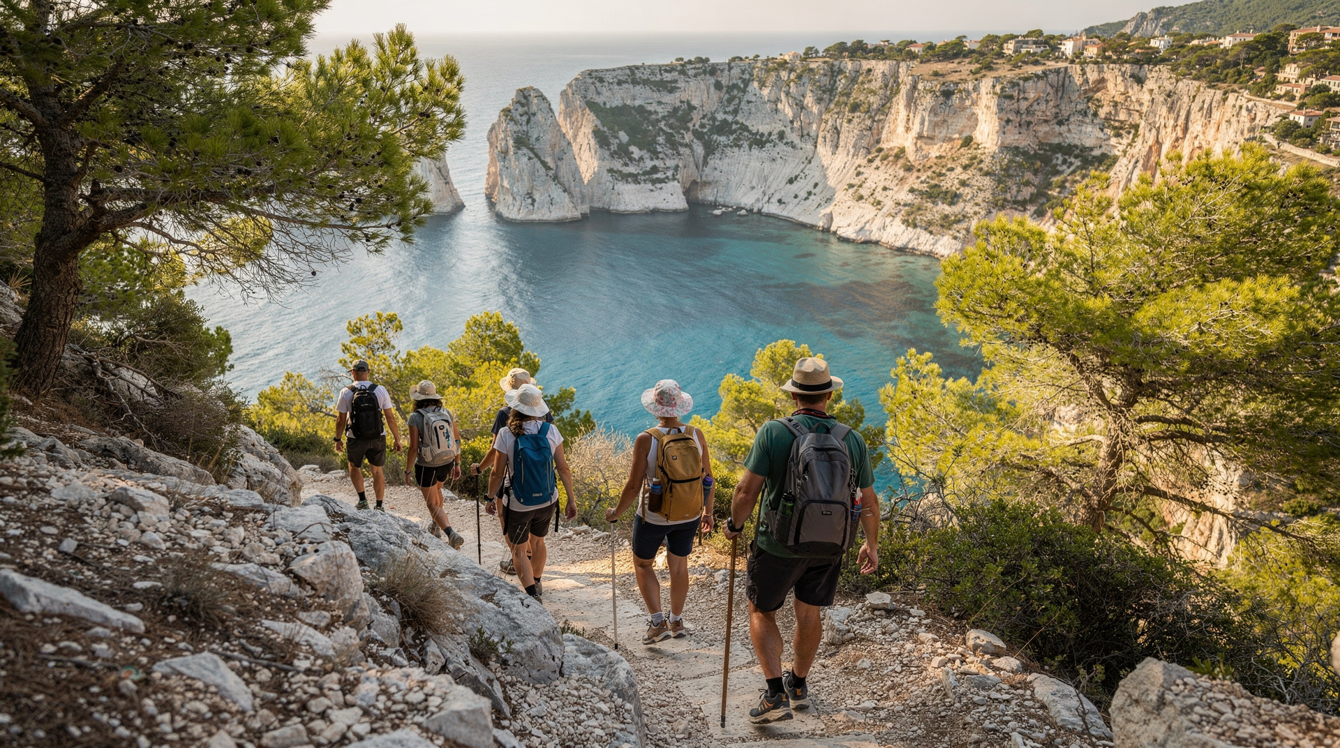
Marseille: Calanques National Park guided hike
Duration: 5 hours
Which is the easiest Calanques hike?
The walk from Cassis village to Port-Miou (15 minutes, flat) is the most accessible. On the Marseille side, the Callelongue coastal path has gentle terrain. Sugiton from Luminy is medium difficulty — 55 min descent, one rope section, 1h15 return.
| At a glance | |
|---|---|
| Where | Calanques National Park — Marseille (Callelongue, Luminy) and Cassis access points |
| Cost | Free access; parking and bus fares are the only costs; Sugiton reservation is free |
| Time needed | 30 min round trip (Port-Miou) up to a full day (10–11h for the GR98) |
| Getting there | Bus 20/21 to Callelongue, bus 21 to Luminy, on foot from Cassis port; see the Luminy access guide |
| Best time | April–June and September–October; most trails close July–August for fire risk |
The honest difficulty ratings
Hiking guides often describe Calanques trails as “easy” because they are short and well-known. The terrain disagrees. The Calanques massif is rough limestone with irregular surfaces, significant elevation changes, and sections of exposed scrambling. A trail rated “easy” here means easy relative to other Calanques trails — not easy in absolute terms.
What makes the Calanques consistently more demanding than their distances suggest:
- Polished limestone: Slippery in any damp conditions, requires proper grip footwear
- No shade: Most trails are exposed ridge or cliff-edge walking; effective temperature significantly exceeds air temperature
- No water: Every hiker carries all water for the entire day
- Non-linear terrain: Descents to calanques gain and lose the same elevation twice per visit; cumulative fatigue is high
With those caveats, here is the honest comparison of the main routes.
Easy — suitable for most adults in reasonable health
Cassis to Port-Miou (15 min one way, 0.8 km, 10m ascent)
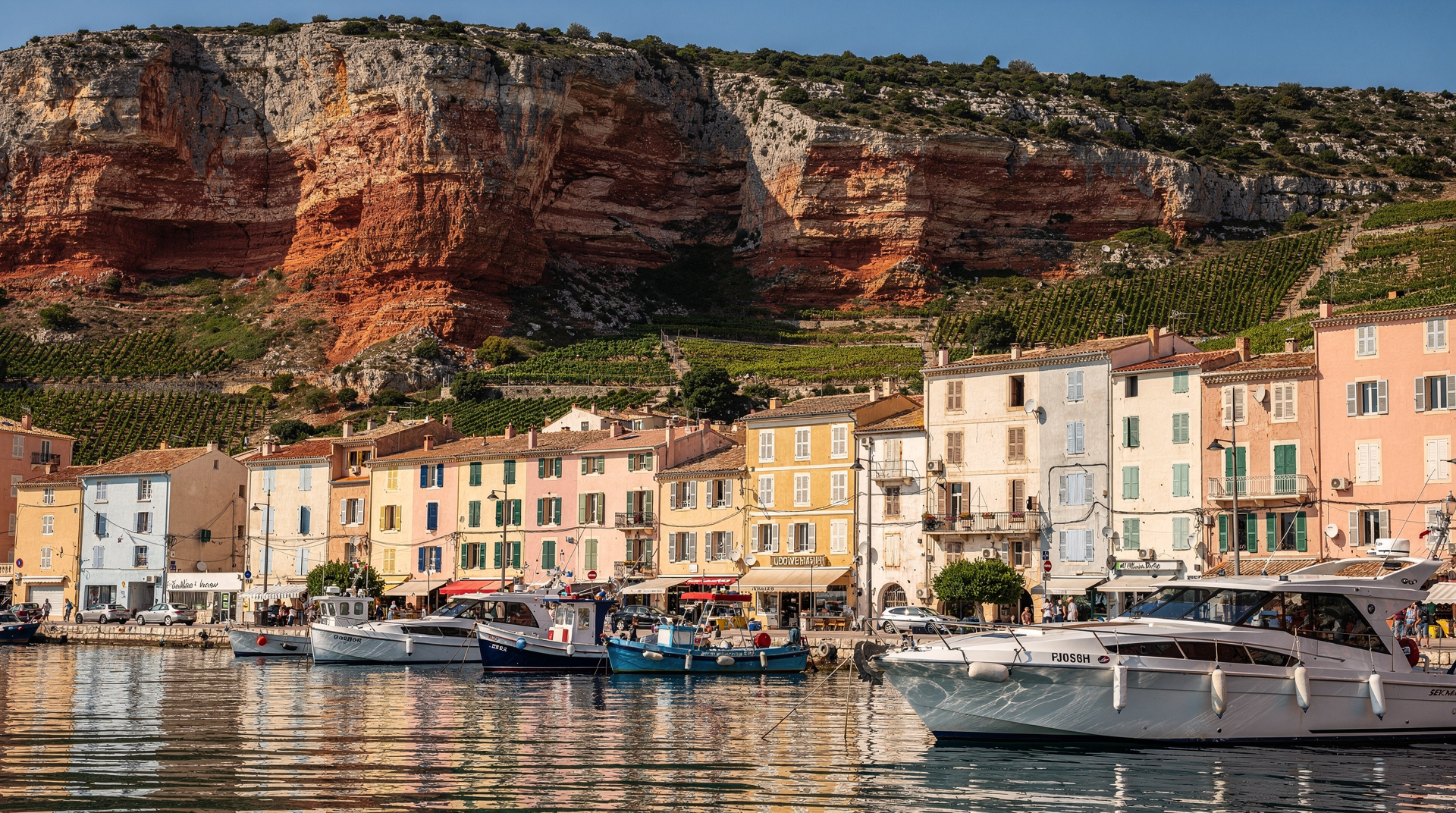
The flattest and shortest access to any calanque in the park. From Cassis port, walk east along the Rue des Calanques for 15 minutes to reach Port-Miou — a long navigable inlet with moored boats on both sides. The path is wide and well-surfaced. No technical terrain. Appropriate for all ages including young children.
What you get: A genuine calanque environment, boat-filled inlet, the national park boundary. Not the most dramatic water colour (Port-Miou is more sheltered and the depth less extreme) but an immediate and accessible introduction to the Calanques.
Best season: Year-round — this section does not close for fire risk as often as the more interior trails.
Callelongue coastal path (variable, 2–6 km, 50–150m ascent)
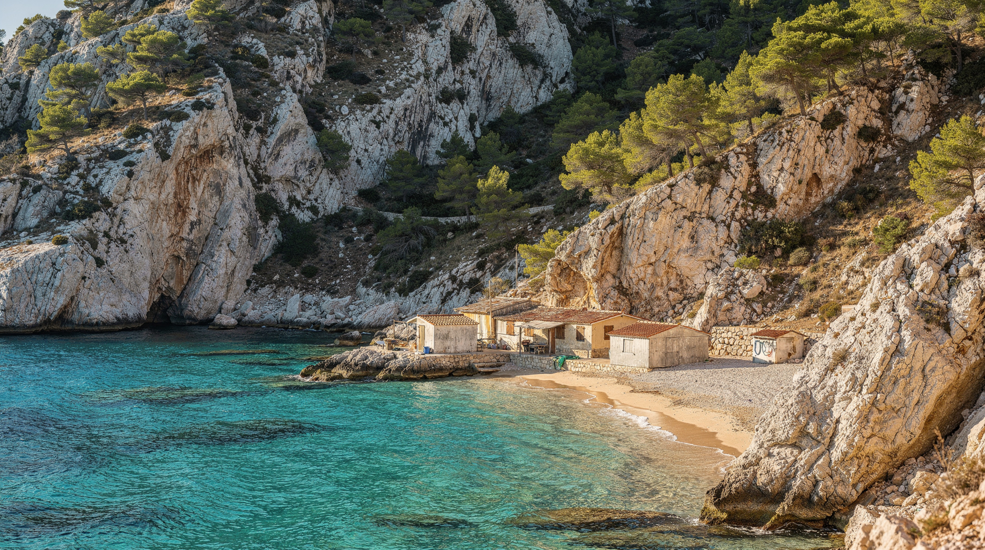
The southern Marseille coastal settlement of Callelongue sits at the start of the coastal path toward Marseilleveyre. The first section is gentle — following the rocky coastline with views south across the sea, passing small coves with clear water. This is the GR98 start but you can walk a section and return without committing to the full traverse.
Distance/time: 1–3 hours out and back depending on how far you walk before returning. Minimal elevation gain on the shorter sections.
What you get: Coastal scenery, excellent swimming in small rocky coves, views toward the Île Maïre. The Calanques landscape without the serious hill climbing.
Accessibility: Bus 20 or 21 from Castellane métro to Callelongue (35–40 minutes).
Medium — good fitness, proper footwear, adequate water required
Luminy to Sugiton (3.2 km one way, 55 min descent / 1h15 return, 150m descent)
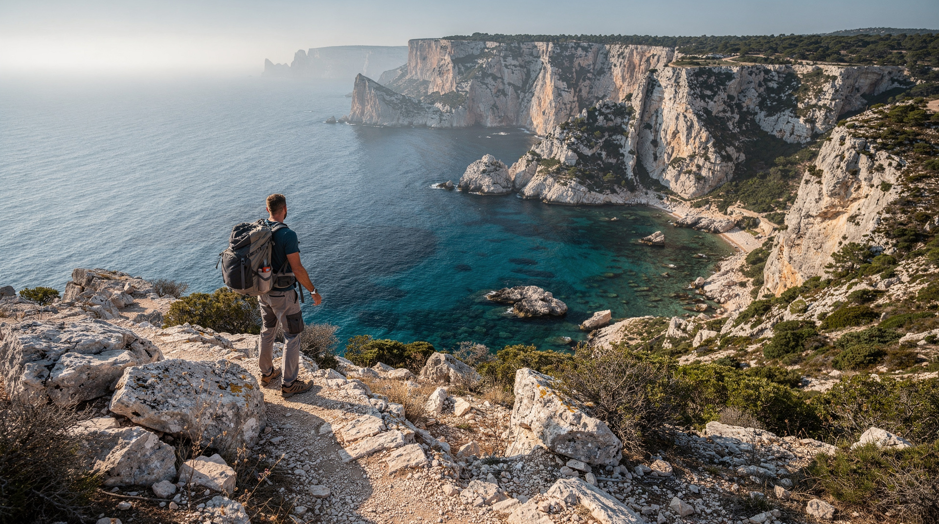
The reference medium-difficulty hike on the Marseille side. From the Luminy car park, the trail descends to the Sugiton viewpoint and then continues more steeply to the calanque beach. One rope-aided section of approximately 10 metres on the final descent. The rope is well-maintained but requires two hands free and reasonable confidence on exposed terrain.
Total round trip: 3 hours including 45–60 minutes at the calanque.
Elevation: 150m descent to the calanque, same gain on return.
Key difficulty driver: The rope section (medium confidence required) and the sustained uphill return in heat.
Reservation: Required June 20–August 30, 2026 (free, calanques-parcnational.fr).
Best season: April–June, mid-September–October. Summer closure risk is high July–August.
Cassis to Port-Pin via Port-Miou (5 km one way, 1h30, 200m ascent)
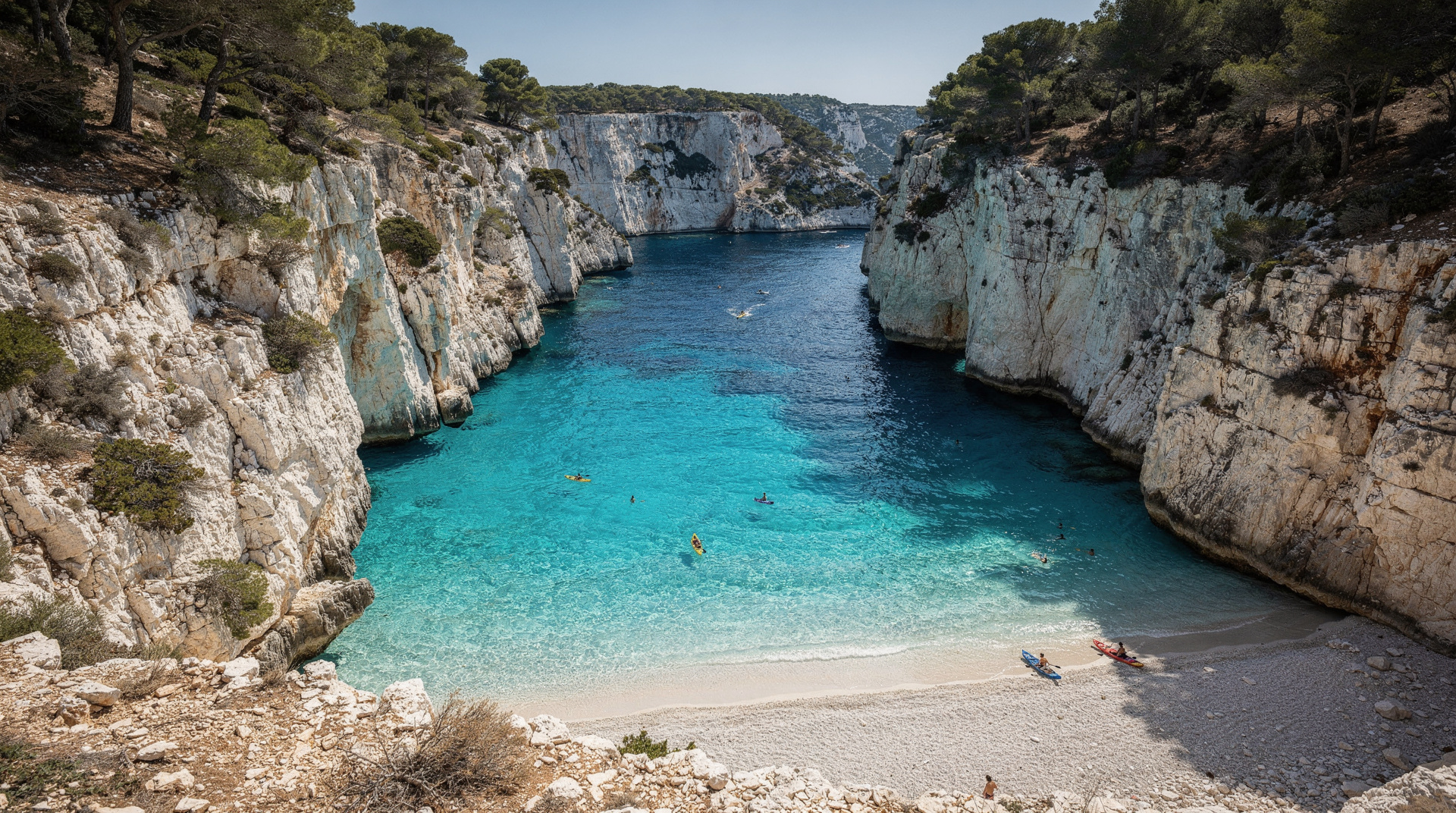
The half-day version of the Cassis three-calanques route, stopping at Port-Pin rather than continuing to En-Vau. Port-Pin has a proper pebble-sand beach, excellent swimming, and adequate space for a lunch break.
Total round trip: 3–3.5 hours.
Elevation: 200m cumulative over rolling terrain; no single steep section as demanding as the En-Vau descent.
Key difficulty driver: Sustained rocky terrain, uneven footing throughout, exposed to sun on most sections.
Best season: April–June, September–October. Summer closure applies.
Luminy to Morgiou (4 km one way, 60–80 min, 200m descent)
A slightly longer and quieter alternative to Sugiton. The trail via the Belvédère de Morgiou gives broad views before the descent into the more enclosed Morgiou cove.
Total round trip: 3.5–4 hours.
What you get: A more intimate calanque than Sormiou, smaller cabanon community, sense of remoteness despite the actual distance from the city.
Hard — experienced walkers, early start essential, full equipment required
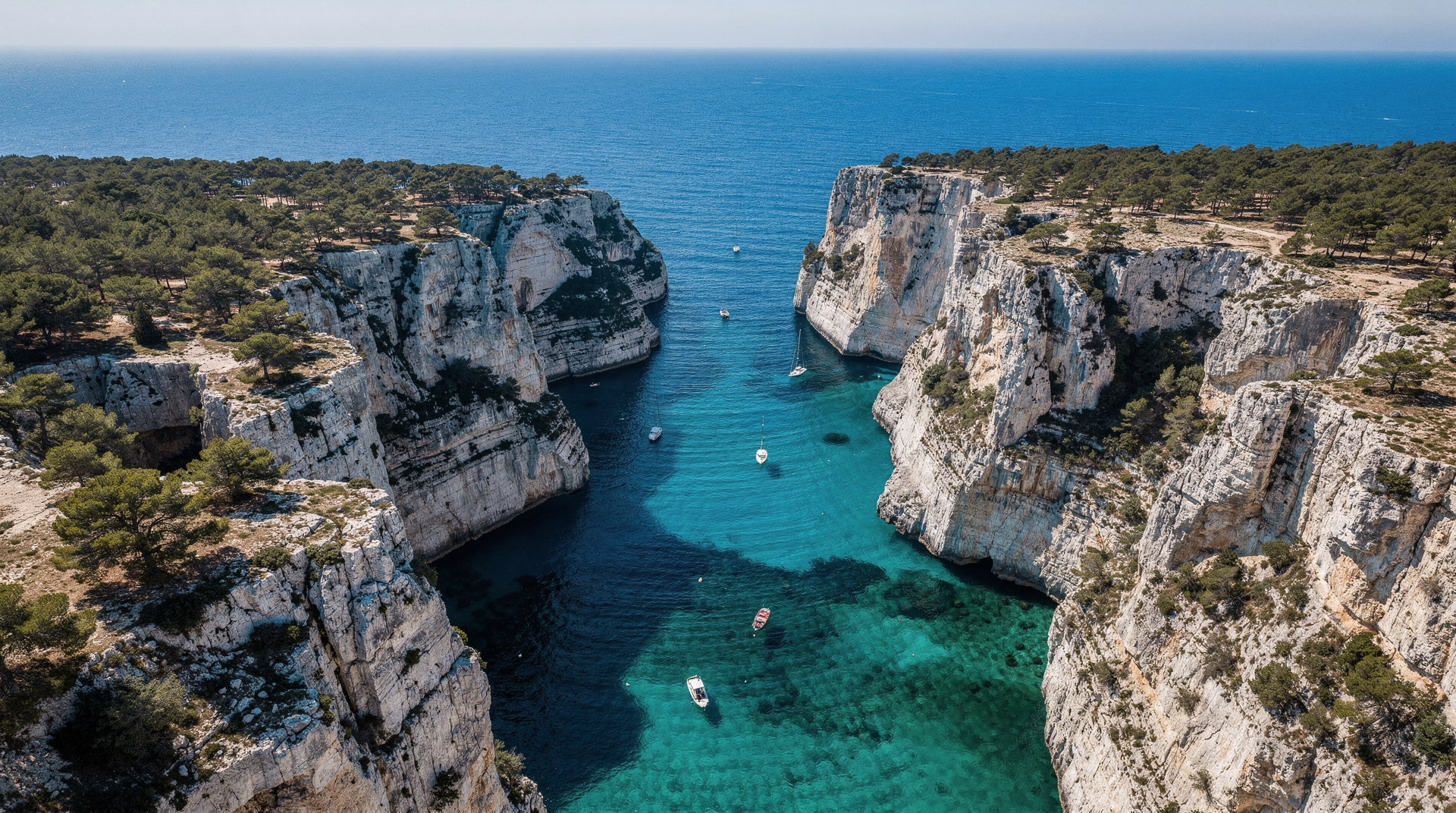
Cassis to En-Vau via coastal trail (7.5 km one way, 1h45–2h, 350m cumulative ascent)
The signature hard day hike in the park. The route adds the demanding Col section above Port-Pin and the steep loose-rock descent into En-Vau. The ascent out of En-Vau on the return leg is the most tiring single section in the park for most walkers.
Full round trip: 4.5–5 hours plus time at the calanque (ideally 1.5 hours minimum).
Elevation: 350m cumulative over the full round trip, concentrated in two main ascents.
Key difficulty drivers: Technical descent into En-Vau (loose rock, no rope, steep), physical challenge of the ascent out on the return, heat exposure on the exposed col sections.
Best season: April–June, September–October. Do not attempt July–August.
Sormiou–Morgiou loop from Luminy (8–9 km circuit, 4.5–5h, 350m ascent)
The most demanding accessible day hike on the Marseille side — a full circuit from Luminy through the massif interior, visiting both Sormiou and Morgiou. Requires good navigation skills or a GPS track.
Key difficulty drivers: Cumulative elevation, length, navigation complexity in the ridge sections, no shade or water sources for the entire route.
What you get: The best overall experience of the Marseille-side massif — both main calanques, the ridge traverse, views in multiple directions.
Best season: April–May, late September–October. The heat exposure makes late June onward unsuitable without a very early start (before 6:30).
GR98 full traverse (28 km, 10–11 hours, 1700m ascent)
The most demanding route in the park — a full traverse from Callelongue (Marseille) to Port-Miou (Cassis). Appropriate for experienced long-distance walkers with the fitness and equipment for a full hiking day. See the GR98 trail guide for full detail.
Who it suits: Walkers who regularly cover 25+ km days on rough terrain. Not appropriate as a first Calanques hike.
Summary table
| Route | Distance (RT) | Duration (RT) | Ascent | Difficulty | Reservation |
|---|---|---|---|---|---|
| Cassis–Port-Miou | 1.6 km | 30 min | 10m | Easy | No |
| Callelongue coastal | 2–6 km | 1–3h | 50–150m | Easy | No |
| Luminy–Sugiton | 6.4 km | 3h | 150m | Medium | June 20–Aug 30 |
| Cassis–Port-Pin | 10 km | 3–3.5h | 200m | Medium | No |
| Luminy–Morgiou | 8 km | 3.5–4h | 200m | Medium | No |
| Cassis–En-Vau | 15 km | 5h+ | 350m | Hard | No |
| Sormiou–Morgiou loop | 8–9 km | 5h | 350m | Hard | No |
| GR98 traverse | 28 km | 10–11h | 1700m | Expert | No (but check) |
Which to choose for a first visit?
If you are arriving in spring and have reasonable fitness: Luminy to Sugiton. The most iconic Marseille-side calanque, the best-marked trail, accessible by bus without a car. Allow a full half-day including transport.
If you prefer Cassis-side: Cassis village to Port-Pin. Slightly more demanding terrain but no reservation needed, and Port-Pin’s beach is more comfortable for swimming than Sugiton’s rocky cove.
If you are with children or mixed fitness levels: Cassis to Port-Miou, then continue to Port-Pin only if everyone is comfortable. The easy Port-Miou section satisfies the “I’ve been in the Calanques” experience without committing to anything technical.
If you are an experienced hiker visiting in spring: Cassis to En-Vau or the Sormiou–Morgiou loop — both give the full Calanques experience.
Seasonal adjustment for each difficulty level
The difficulty ratings above assume optimal spring conditions (April–May) with open trails and comfortable temperatures. Each season modifies the difficulty rating:
April–May: The ideal window for every route. Trails fully open, temperatures 18–26°C, water warming but still refreshing. The garrigue is in flower. All difficulty ratings as stated above.
June: Easy and medium routes remain as rated for most of the month. The En-Vau and GR98 routes gain an extra difficulty level from mid-June onward as temperatures approach 30°C. Start times should shift to before 08:00 for medium and hard routes.
July–August: Almost all routes closed due to fire risk. On the rare green-level days when access is permitted, easy routes remain manageable with a very early start (before 07:00), copious water, and a clear weather forecast. Medium and hard routes are not advisable even on open days — the temperature and sun exposure create genuine safety risk.
September–October: Routes gradually reopen from September 1 onward (verify exact dates). The water is at its warmest (22–24°C), the crowds drop sharply, and the light is excellent. Medium routes regain their spring-equivalent difficulty level by mid-September. Hard routes require checking for residual fire-risk restrictions in early September.
November–March: Trails open, minimal crowds. Easy routes are very accessible. Medium routes gain difficulty from damp limestone (slippery in rain). Hard routes are for walkers with significant experience — the GR98 traverse in winter requires full mountain equipment including rain gear and reliable navigation.
Planning for each difficulty level
Easy hike planning checklist
- Footwear: any closed-toe shoe with rubber sole acceptable; proper hiking shoes preferred
- Water: 1 litre per person for 1.5h, 1.5 litres for 3h
- Check: no specific access status check needed for Port-Miou (Cassis) or Callelongue coastal section
- No reservation needed (for non-Sugiton routes)
Medium hike planning checklist
- Footwear: hiking shoes with ankle support required
- Water: 1.5–2 litres per person
- Check: access status at calanques-parcnational.fr after 18:00 the evening before
- Sugiton: check reservation requirement and book if applicable (June 20–Aug 30, 2026)
- Start: before 09:00 in spring; before 08:00 from June onward
Hard hike planning checklist
- Footwear: hiking boots with ankle support
- Water: 2–3 litres per person minimum
- Check: access status mandatory — hard routes traverse the massif interior where fire risk is highest
- Navigation: downloaded GPS track plus paper map
- Timing: before 07:00 in warm conditions; return from the calanque no later than 13:00
- Emergency: 112 saved in phone, tell someone your route
The first-timer summary
If you have never hiked in the Calanques before, the single most common mistake is choosing a route that is too long or too difficult for the conditions. The calanques at the end of each trail are genuinely worth the effort, but an overambitious first hike in heat with insufficient water produces a miserable experience that puts people off returning.
The safe first choice: Cassis to Port-Miou (15 minutes, easy) with extension to Port-Pin (60 minutes, medium) if you feel good after the first section. This approach is self-correcting — you discover the terrain and your group’s pace before committing to the more demanding sections.
The ambitious but achievable choice for fit walkers: Luminy to Sugiton in spring, starting at 08:30, with 2 litres of water per person. This is the most iconic Marseille-side first Calanques hike for good reason.
For all fire-risk and seasonal considerations, see the hiking master guide and the safety guide. For Sugiton specifically, see the Sugiton guide. For En-Vau, see the En-Vau hike guide. For Sormiou and Morgiou, see the Sormiou guide. For accessing the trails from Luminy, see the Luminy access guide.
Hiking vs boat: which gets you to the water faster
Every hike in this guide involves a real physical cost to reach a swim spot that a boat can reach in under an hour with no walking at all. The trade-off is worth naming: hiking gets you a calanque essentially to yourself if you time it right (especially Morgiou or the Sormiou–Morgiou loop early on a weekday), while a boat tour covers 2–3 calanques in a single outing without any climbing. See the boat vs hike comparison for the full trade-off, or best boat tours if a hike after reading this still sounds like too much effort for today.
For hikers who want a guide rather than navigating alone — useful for the harder routes or for confirming access status on the day — see the crowd-avoidance guide, which also covers timing strategy in more depth than the seasonal notes above.
A couple of extra questions
Do I need hiking poles for any of these routes?
Not essential on the easy or medium routes. On the hard routes — particularly the loose-rock descent into En-Vau — poles help with stability on the way down and reduce knee strain on the long return climb. Experienced Calanques hikers frequently use them on the GR98 and the Sormiou–Morgiou loop.
Can I combine two easy or medium hikes in one day?
Yes, if they’re on the same side of the massif. Cassis to Port-Miou plus Port-Pin in the same morning is a natural combination (see the medium-route entry above). Combining a Marseille-side hike (Luminy) with a Cassis-side hike in one day is possible but requires transport between the two, which adds 30–45 minutes each way — see the Marseille to Cassis transport guide.
Top experiences
Bookable activities with verified prices and instant confirmation on GetYourGuide.